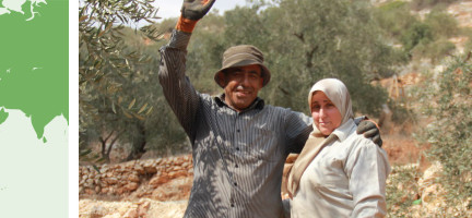
Mauritania
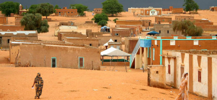
The Islamic Republic of Mauritania is situated in Northwest Africa and represents both geographical and cultural contact between Northern Africa and the Sub-Saharan region. The country borders Western Sahara to the northwest, Mali to the south-east and Senegal to the south-west. It is subdivided into four major regions: the sandy desert along the Atlantic coast, the central highlands region, large dunes in the east feeding into the Sahara Desert and the southern valley straddled by the Senegal River. Roughly two quarters of the country is either desert or semi-desert while less than 1 per cent of the territory is arable land. Mauritania is vulnerable to climate change, drought and floods, with desertification as its most pressing land-related environmental challenge [3].
With a population of over 4.8 million people living on a territory of 1,030,700 square kilometers, Mauritania has one of the lowest population densities of all Sub-Saharan African countries. Most Mauritanians (56 per cent) live in urban areas, but the rural economy continues to contribute to the national GDP production. Approximately 62 per cent of the population depend on agricultural activities including pastoralism and fishing. The main agricultural products are corn, mil, sorgo and dates while fishery represents 20 per cent of the country’s revenues. Around 40 per cent of exports stem from the mining sector. More recently, an offshore gas field was discovered in the border region of Mauritania and Senegal, which has attracted international investment interest [4].
Mauritania is composed of different socio-cultural groups, including the Soninké, the Peuls, the Moorish, the Toucouleurs and the Wolofs. Mauritania was colonized by the French in 1904, and remained a largely nomadic population (roughly three-quarters of the total population) until Mauritania’s Independence in 1960. The French colonial administration led the groundwork for the legal and institutional system, which still largely prevails today.
Legal and institutional framework
The land sector in Mauritania is governed by a combination of different legal sources, including customary law and tribal rights, Islamic law and the legacy of the French Codes.
Article 15 of the Constitution of Mauritania guarantees the right to own property and the right of inheritance. However, the law can “limit the extent of the exercise of private property if the exigencies of economic and social development necessitate it”. There is a juridical regime for expropriation of land, but this can only take place “when public utility commands it and after a just and prior indemnity”. The allocation of Waghf land (religious endowments) and Waghf assets and foundations are also recognized and protected by law. Article 57 confirms that “transfers of property from the public sector to the private sector” is of the domain of the law [1].
The Land Code (Ordinance 83-127 of 5 June 1983) represents the most recent major land sector reform in Mauritania. According to Article 1, “the land belongs to the nation and all Mauritanians and without discrimination of any kind, some inhabitants own their own lands. By complying with the laws of ownership the land can thus be a private property". Article 2 of the Land Code confirms that “The State recognizes and guarantees private ownership of land which, in accordance with Sharia, contributes to the economic and social development of the owner, thus of the country”. Article 2 of the Land Code also ends Mauritania’s recognition of tribal property, stating that “any property right that is not tied directly to any person or entity and which does not result in a legally protected development is non-existent”. However, according to Article 6, “collective rights legitimately acquired under the previous regime, previously confined to farmland, benefiting all those who have either participated in the initial development or contributed to the sustainability of the operation” [2].
Despite this, most land in Mauritania is in practice governed by customary law, which almost fully based on Sharia law. Customary land tenure is most prevalent in rural areas, where traditional agreements are recognized as evidence of property rights [3].
In rangeland areas, the Pastoral Code of 2000 (Law No. 2000-44) recognizes usufruct rights of pastoralists, which are given priority over cultural uses of the land [3].
The revised Forest Code (Law No. 2007-055) lays out the framework for the creation, management and protection of forests, parks, reserves and protected areas, whether belonging to the State or individuals. State forests have specific protections, and there is scope for granting usufruct use of such lands. A separate law, No. 98-016, governs the sustainable participatory management of oases [3].
The Investment Code of 2012 (Law No. 2012-052) facilitates investments into Mauritania’s agricultural sector. This Code established the introduction and use of Investment Certificates as a tool for the simplification of agribusiness investment [3].
Land tenure
Many individual and collective land rights holders in Mauritania are not able to register their land as the registration process is considered quite complicated, resulting in high levels of land tenure insecurity in the country. Even the Land Code revisions of 1990 do not provide sufficient security for women or smallholders with usufructuary rights. Formal recognition of land rights of small farmers is only available through associations and cooperatives. Landlessness is also prevalent, though there have been attempts to address the phenomenon, including through a 1990 revision of the 1983 Land Code which recognizes some long-term land users as owners. In a limited number of cases of large-scale irrigation projects that have risked displacing local communities, land has been distributed to landless peasants as compensation, as in Kaédi and Boghé. Lack of access to land is a major factor contributing to poverty in the country; many former slaves continue working for their former enslavers due to lack of alternative land options [3].
The 1983 Land Code defines the country’s main land tenure regime. The reforms brought about through the Code reinforce the role of the State in land management and land allocation processes, and abolished traditional land tenure. All land, except plots owned privately by individuals, is designated State land. Privately owned land is defined as land registered by individuals or land that has been developed (or partially developed) as a result of a concession or of Law 60-139 of 1960 on the reorganization of the state. Between passage of the law in 1960 and the year 2000, more than 27,000 full freehold titles were issued, primarily in urban areas, along with 500,000 provisional title deeds in Nouakchott [3].
Customary tenure is the most common form of land governance in rural areas, though it is not recognized under the law. There are, however, formally recognized rights for pastoralists in rangeland areas. In areas where customary tenure prevails, large plots of community land are managed by traditional land chiefs who ensure that everyone in the community is granted access to the land. Such communities also often designate land for use by pastoralists, including for the conditions of movement and exploitation of natural resources, though the right of the land is always retained by the community. Roughly 5 per cent of land is governed by such usufruct transfer agreements [3].
The adoption of the land reform brought associated land rights, which were transferred through definitive grants (concessions) allocated by the State. The legal and administrative system still recognizes pre-existing rights, such us customary or tribal rights largely based on Sharia law – which in turn includes different forms of land tenure and sources of rights – and are recognized by traditional agreements. This, however, contradicts the principles of the 1983 reform, as the latter includes the intention to abolish traditional forms of land tenure. This confusion has fueled tensions and led to a rather unclear regularization of tribal rights in conflict-affected areas, such as the Senegal river region.
Between 1983 and 2010, decentralized and deconcentrated bodies, such as walis (governors) and hakims (prefects), had authority over rural areas. This changed with the adoption of a decree in 2010, which further entrenched centralized control and allocation of rural land, becoming the jurisdiction of national ministries.
There is no national-level cadastral plan or land register. An electronic land registry was established in Nouakchott in 2014, which eliminated duplicate and false titles, though the initiative was temporary. Land management in urban areas is the responsibility of the Ministry of Housing, Urban Development and Regional Management. Land registration activities are primarily concentrated in urban areas, while rural land users are not able to obtain official documentation and registration of their rights [3].
Land titles can be obtained through the Ministry of Finance, the Direction des Domaines (land department) and the Ministries of Urban Planning and Rural Development, including through their regional offices. However, the process for obtaining land titles is considered a long and complicated procedure due to the number of ministries and departments involved. Regional offices also lack resources [3].
Land value
In the early 2000s, Mauritania adopted a decentralization policy, shifting some of the fiscal responsibilities to municipal authorities. Communal fiscal commissions oversee the valuation of rental properties. Land taxes for both built-up and agricultural land, as well as housing taxes, are collected by municipal authorities. Built property is taxed, which must be paid by the property owner, and is calculated based on the rental value at a rate between 3 per cent and 10 per cent (in practice a rate of 8 per cent is applied) [12]. Joint Order No. R-558 of 2001 sets the amounts of fees and the final transfer price of concessions in rural areas.
Land use
Up until a series of droughts that occurred in the 1970s, land use in Mauritania was dominated by nomadism and pastoralism. Around 38 per cent of land is used for agricultural purposes, which includes pastoralism and fishing. However, desertification and urbanization trends are at risk of reducing the availability of agricultural land. The size of forested areas has been declining steadily since the 1990s, and more recently due to forest fires. Forested lands represent less 0.3 per cent of the country’s total area.
Rapid urban growth is changing how land is used and is increasing competition over arable and habitable land. The vast majority of Mauritania’s population lives on just one-fifth of the land, as most of the country is considered uninhabitable. The Senegal River Valley is considered the most fertile area of Mauritania. Changes in land use patterns are further impacted by disappearing traditional knowledge, the overexploitation of groundwater resources, land fragmentation and unsustainable practices, which also increase Mauritania’s vulnerability to climate change. Sand dunes from the east are also encroaching on urban centres. Since 2000, the Government of Mauritania has engaged in the Green Belt initiative for Nouakchott, which aims is to protect the capital city from further desertification [3] [6].
Land development
The Local Government Code of 2008 includes legal provisions for land development and planning that have been transferred to decentralized authorities and municipalities.
It is possible for both investors and individuals to acquire state-owned land. Agriculture is the major source of attraction for investors, and the National Agricultural Development Plan (PNDA) aims to intensify and diversify the country’s agricultural production by 2025. The Investment Code promotes land-related investment through incentives such as special benefits for medium-sized enterprises or favourable conditions in Free Zones.
There are three major agricultural investment projects in the Senegal River Valley currently operating, each of about 10,000 hectares in size. For permission to develop land for these project, investors first apply to the Ministry of Economy and Finance and then register the land that they have been granted to the Direction des Domaines (land department) under the Ministry of Housing. If the investor has purchased land, they must still register at the Direction des Domaines, however there are rules in place that allow foreign investors to circumvent this process by obtaining a Certificate of Investment. Many communities in areas governed by customary law, however, are against these investor-lead developments of State-granted land [3].
Large scale land development projects, such as in the municipality M’Bagne, are areas where traditional land users and practices confront modern laws and developers. In the M’Bagne area, a development site of nearly 20,000 hectares supervised by the Ministry of Environment, a parcel map showing existing land rights of farmers was drawn up as a way to avoid conflicts.
The National Agricultural Development Plan encourages the intensification and diversification of agricultural production, especially through agribusiness investments by medium-sized companies and multinationals. The Government of Mauritania has also encouraged Land development through large-scale land acquisitions and promoted Special Economic Zones.
Planning provisions also exist in forestry policy. This puts in place plans to manage and control land clearing, overgrazing, bush fires and firewood exploitation. The revised Forest Code concerns both state forests and those of local communities and individuals.
Land dispute resolution
Since the adoption of the 1983 land reform, conflicts around land and the access to natural resources have been on the rise in Mauritania. Land-related disputes are typically over Mauritania’s scarce fertile lands, usually in the form of conflict between pastoralists and farmers. Other sources of land disputes are large-scale mining projects, agribusiness investments in the Senegal River Valley and ethnic tensions [3].
The Senegal River Valley is one of the areas most affected by post-reform violence, where herders and farmers once lived together harmoniously, based on cyclic and complementary land use arrangements. Between 1989 and 1992, however, lack of clarity on the definition of land rights, their recognition, delimitation and materialization triggered an episode of violent conflict between farmers and herders regarding land use rights on the Mauritania-Senegal border. Black population groups were expelled as they were not considered Mauritanian and others in the Valley had their land expropriated. In 2007, the then President called for the return of 35,000 refugees, which involved the question of the restitution of their lost lands.
Conflicts have also occurred as the result of settlement programs aiming for a definitive sedentarization of the herder groups of the Peuls and the Haratine in areas officially inhabited by the Wolofs, Soninkés, Haalpularen and Moorish. Furthermore, government-promoted land development and investment policies have facilitated access to land titles for national agribusiness entities that dispose of considerable financial resources to exploit and develop land. These initiatives have encountered local resistance and protest.
Other land conflicts take place in urban areas, resulting from unclear land and property management and land information. They are further fueled by unplanned and informal occupations in certain peri-urban areas and the sometimes-questionable application of land law.
In 2000, land dispute resolution commissions were created at the wilaya and hakem levels. Their mission is to resolve conflicts by finding private arrangements and friendly solutions. If these instances fail to resolve a conflict, the national commission of collective land conflicts intervenes, which is informed and trained by the Ministry of Rural Development and Environment. National courts are rarely called upon, as for many, they are considered insufficiently effective and lacking objectivity. The absence of a national registry is a major roadblock for the mediation and settlement of land disputes, particularly in rural areas [3].
Women’s land rights
The Land Code guarantees equal land rights to women and men. However, in rural areas where customary practices are the norm, women still face difficulty in accessing and managing land. Only 8 per cent of title dees in Mauritania are held by women, primarily in cities where customary practices have less influence and women are more independent. In the Senegal River Valley, for example, only 5 per cent of title deeds are held by women, while Trarza has the highest levels of land ownership by women. Women are able to inherit land, but patriarchal practices encourage women to be given movable property rather than land as a way of ensuring land remains in the man’s family [3] [5].
Women often do not have full information on the procedure for acquiring land titles, despite their strong interest in obtaining titles to secure their access to land. They are also often illiterate, unknowledgeable about their rights or lacking the funds needed for the process of registration. Women, and especially women’s agricultural cooperatives, are encouraged by the government to register their land, but in practice there is no legislation that prevents discrimination against women. There are very few women in government land management or land conflict resolution positions [3] [5].
Key links and documents
[1] Constitution of Mauritania , 1991 (revised 2012).
[2] Mauritanian Network for Human Right in the USA. Land Rights.
[3] Hennings, M. (2021). Mauritania - Context and Land Governance. Land Portal.
[4] FAOSTAT (2021). Mauritania.
[5] The World Bank (2015). Women’s Access to Land in Mauritania: a case study in preparation for the COP.
[7] Choplin, A. and Ould Bah, M. F. (2018). Foncier, droit et propriété : au cœur de la société mauritanienne. In A. Choplin & M. Fall Ould Bah (Eds.), Foncier, droit et propriété en Mauritanie (pp. 15-23). Centre Jacques-Berque.
[8] Ould al Bara, Y. (2018). L’islam et la propriété foncière en Mauritanie. In A. Choplin & M. Fall Ould Bah (éds.), Foncier, droit et propriété en Mauritanie (pp. 25-67). Centre Jacques-Berque.
[9] The World Bank (2024). The World Bank in Mauritania.
[10] World Bank Group (2020). Doing Business 2020: Mauritania Economy Profile.
[11] Rochegude, A. and Plançon, C. (2009). Décentralisation, acteurs locaux et foncier: Fiches pays Mauritanie.
[12] PWC (2024). Mauritania: Individual – Other Taxes.
Disclaimer
The information contained in this page is based on the body of knowledge developed by UN-Habitat, GLTN and the Arab Land Initiative’s partners. The designations employed and the presentation of the material do not imply the expression of any opinion whatsoever on the part of the Secretariat of the United Nations concerning the legal status of any country, territory, city or area, or of its authorities, or concerning delimitation of its frontiers or boundaries, or regarding its economic system or degree of development. The information may contain inaccuracies due to the data source(s) and do not necessarily reflect the views of UN-Habitat or its governing bodies.
The Mauritania page is still under construction. Share with us any relevant information, resource or correction to enrich our library. Contact the Arab Land Initiative at unhabitat-arablandinitiative@un.org !
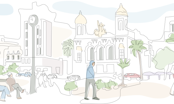
Algeria is the largest country in Africa, bordering Morocco, Mali, Libya, Tunisia, Niger, Mauritania and Western Sahara. The country has a land area of over 2.3 million square kilometres, most of which is covered by the Algerian Sahara Desert. Approximately two thirds of Algeria’s 44.6 million inhabitants [1] live in urban areas [2], primarily along or near the country’s 2,148 sq km coastline with the Mediterranean Sea. Algiers, the capital city, hosts a population of over 3.5 million.
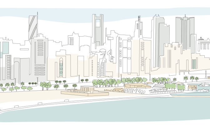
Bahrain, officially the Kingdom of Bahrain, is an island situated between Qatar and the northeastern coast of Saudi Arabia, to which it is connected by the King Fahd Causeway. It is comprised of an archipelago of between 36 and 44 islands [1]. Bahrain’s land area is constantly increasing, and currently sits at about 785 km2; the country’s total land area was approximately 620 km2 before substantial reclamation projects expanded its land mass along the shorelines.
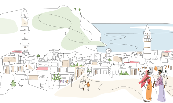
The island country of Comoros, or Union of Comoros, is located in the Indian Ocean at the northern end of the Mozambique Channel, off the eastern coast of Africa. Comoros has maritime borders with Tanzania, Mozambique, Madagascar, Seychelles and Mayotte (administered by France). [6] These volcanic islands form an archipelago of just over two thousand square kilometers [5] with a population of less than a million, 30 percent of which live in urban centres. The capital and largest city is Moroni on Grande Comore Island, while Anjouan Island is the most densely populated [10].
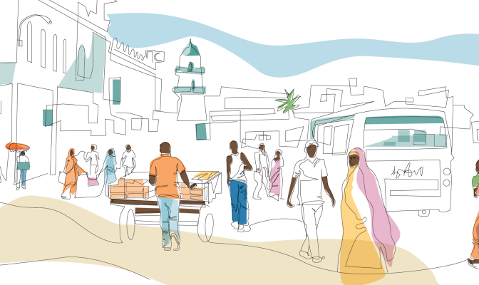
Djibouti has an are area of 23,200 km² and is home to one million people. Around 78 percent of the population lives in urban areas, with the major concentration found in Djibouti city and other nearby urban and peri-urban areas. The remaining quarter of the population lives in rural areas and it is mostly devoted to the traditional transhumant pastoralist lifestyle.[1] Traditionally, the Afar and Issa communities are camels, goats, and sheep herders. The Afar people, primarily residing in Djibouti’s northern region, are part of a larger Afar ethnic group predominantly found in Ethiopia, while the Issa people, concentrated in the southern part of Djibouti, share ethnic ties with neighbouring Somalia.[1] Power sharing struggles between the Issas and Afars led to a civil war that ravaged
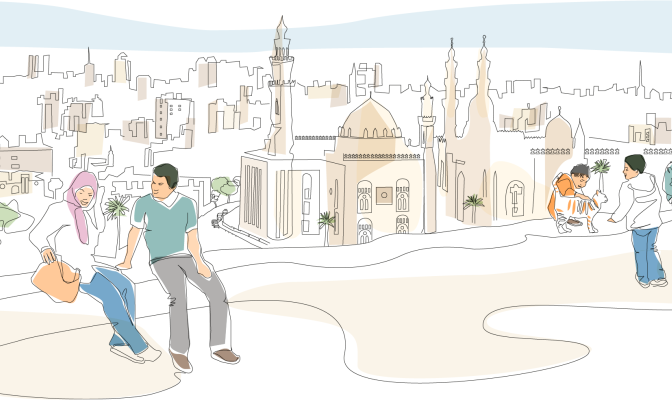
Egypt is in the northeastern corner of Africa, with the Nile River valley and delta at the heart of the country, Egypt was one of the principal civilizations of the ancient Middle East.
Urbanization is a key driver of development in Egypt, 75 per cent of the GDP is generated in urban areas and 80 per cent of the jobs are in existing cities (NUP Diagnostic report, Unpublished). Urbanization in Egypt increased from 26 per cent in 1937 to 38 per cent in 1960 and 44 per cent in 1986. This percentage fell to around 42.2 per cent in 2017, not because the Egyptian urbanization rate is declining, but rather due to the lack of a clear unified definition of urban-rural areas. In 2021, 43 per cent of Egypt’s total population lived in urban areas and cities.
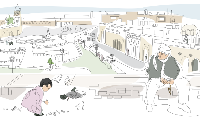
Iraq is one of the easternmost countries of the Arab Region. With Baghdad as its capital city, it is bordered to the north by Turkey, to the east by Iran, to the west by Syria and Jordan, and to the south by Saudi Arabia and Kuwait.
The information contained in this page gives an overview of the Iraq land sector. More detailed information, analysis, and full references can be found in the “Iraq Legislative and Administrative Land and Property Rights Framework” report developed by UN-Habitat and the Global Land Tool Network in the context of the Arab Land Initiative.
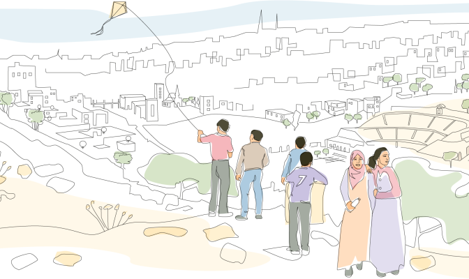
Jordan is located in the rocky desert of the northern Arabian Peninsula. It has a land area of 88,780 Km2 and a population of 10.3 million people, 92 per cent of whom live in urban centers (Worldometer, 2021). Inhabitants are concentrated in the west, northwest, inside and around the capital Amman, while a sizeable number of people reside in the southwest along the coast of the Gulf of Aqaba (FAO, 2019). In 2020, Jordan had an annual urbanization rate of 9 percent (Worldometer 2021), compared to a rate of 3.8 percent in 2014 (Department of Statistics, Al-Fugara, Al-Shabeeb et.al., 2018). The country is divided into 12 governorates and 51 districts. The capital city is Amman.
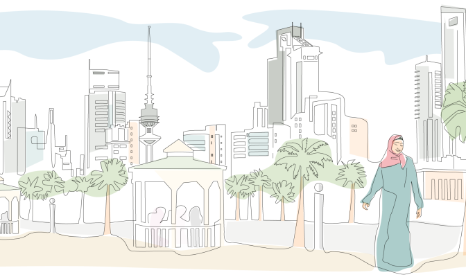
The State of Kuwait is a country on the Arabian Peninsula, bordering Iraq to the west and the north, and Saudi Arabia to the south. Its territory is 17,820 square kilometers in size, consisting of the mainland plus nine islands. Kuwait is a sovereign, constitutional monarchy with a democratic political system that has a separation of legislative, executive and judicial powers.
Kuwait consists mostly of desert regions, with a hot and arid climate during the summer season, when temperatures can exceed 50 degrees. The exception to this is the Al-Jahra oasis, at the western end of Kuwait Bay, and a few fertile patches in the southeastern and coastal areas.
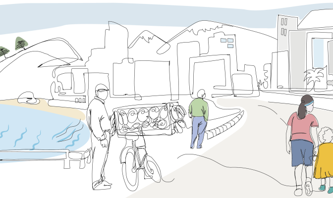
89 percent of the 6 million inhabitants live in urban centres, mostly along the coast. 6 percent of its 10,230 Kms surface is built-up, 32 percent is agricultural, and the remain parts are covered by grass, shrubs, rocks or forest.
Traditionally considered a middle-income country, Lebanon’s economy has been declining due to the combined effects of regional conflicts, COVID-19 pandemic, and the Beirut port explosion.
Lebanon hosts more than one million Syrian refugees scattered throughout urban and rural communities, putting additional strain on the already impoverished host communities and adding to the demand for affordable housing and basic services.
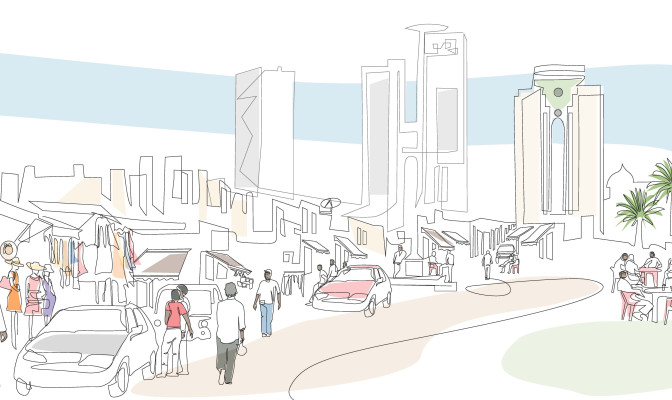
The country extends over 1,759,540 km2 where more than 90% of the total land area is desert or semi-desert. Combined with the projected increase in population, this will result in a number of major challenges in the country including the provision of adequate housing, food, clean drinking water, job opportunities, health care, education, and transportation.
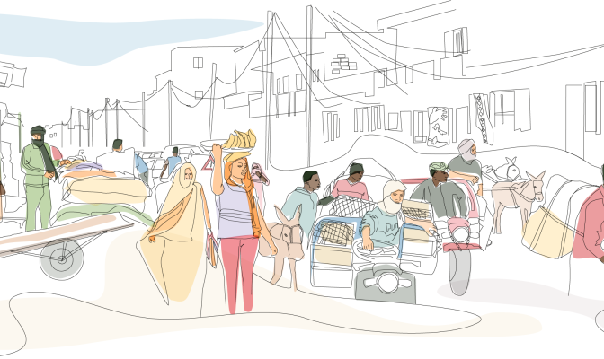
The Islamic Republic of Mauritania is situated in Northwest Africa and represents both geographical and cultural contact between Northern Africa and the Sub-Saharan region. The country borders Western Sahara to the northwest, Mali to the south-east and Senegal to the south-west. It is subdivided into four major regions: the sandy desert along the Atlantic coast, the central highlands region, large dunes in the east feeding into the Sahara Desert and the southern valley straddled by the Senegal River. Roughly two quarters of the country is either desert or semi-desert while less than 1 per cent of the territory is arable land. Mauritania is vulnerable to climate change, drought and floods, with desertification as its most pressing land-related environmental challenge [3].
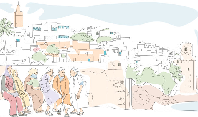
The Kingdom of Morocco is a mostly arid and semi-arid country in the north-west corner of the African continent. Morocco is home to a population of 37 million inhabitants, about 600,000 of whom reside in its capital city, Rabat. Morocco is a constitutional, democratic and parliamentary monarchy, with the parliament consisting of two chambers: the House of Representatives and the House of Councillors. According to the 2011 Constitution, political power in Morocco is shared between the Monarch and the parliament.
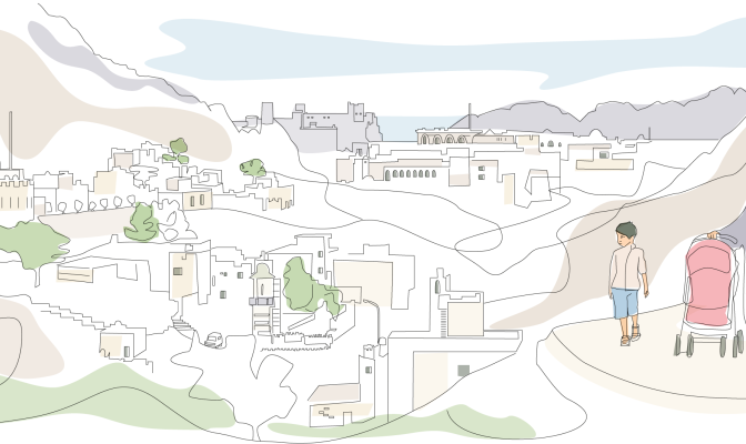
The Sultanate of Oman, located on the south-eastern coast of the Arabian Peninsula, borders the United Arab Emirates, Saudi Arabia and Yemen. The country is 309,500 sq km in size, with a 2,092 km long coastline, and rugged mountains in the north and south. A vast gravel desert plain covers most of the country, which experiences sandstorms and dust storms in summer, and periodic droughts, with average precipitation of 125 mm per year.
This page presents a snapshot of Oman’s land sector. Much of its content was extracted from the report Oman Land Sector Assessment, prepared by the Urban Training and Studies Institute and the Arab Land Initiative of the Global Land Tool Network [3].
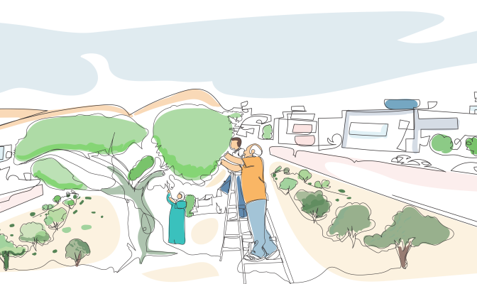
Palestine, or the Occupied Palestinian Territory (OPT), is located between the Mediterranean Sea, the Jordan River and the Dead Sea. The OPT is composed of two enclaves: the West Bank, including East Jerusalem and Gaza Strip.
The information contained in this page gives an overview of the Palestine land sector. More detailed information and analysis can be found in the “Land governance and land rights in Palestine: Analysis and recommendations” report developed by UN-Habitat and the Global Land Tool Network in the context of the Arab Land Initiative.
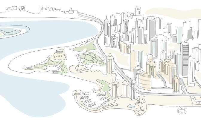
Qatar is located on a small peninsula on the northeastern coast of the Arabian Peninsula, measuring roughly 160 km north-south and 55 to 80 km east-west. It has only one land border, with Saudi Arabia, to its south. The total land area is 11,581 km2, only 5.6% of which is agricultural, with 99 per cent of the country’s total population of over 3 million (as of 2024) residing in urban areas.
Doha, its capital, has transformed from a small fishing village community to an emerging regional urban centre with more than 1.9 million inhabitants. Urban areas in the Doha region have grown at a rate of 5.45 per cent per year since 1987, increasing by 315 km2, with the peak growth period occurring between 1998 and 2003.
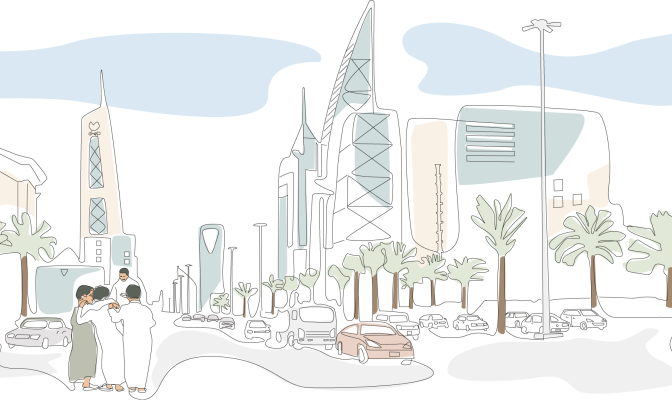
The Kingdom of Saudi Arabia is the second-largest country in the Arab world, with a land area of 2,149,690 km2 occupying roughly 80 per cent of the Arabian Peninsula. It is bordered by the Red Sea to the west; Jordan, Iraq and Kuwait to the north; the Persian Gulf, Qatar and the United Arab Emirates to the east; Oman to the southeast; and Yemen to the south. It is the only country with a coastline along both the Red Sea and the Persian Gulf.
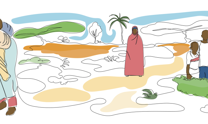
The Federal Republic of Somalia is situated in the Horn of Africa. Its Federal Member States are Puntland, South West, Hirshabelle, Galmudug, Jubaland, Somaliland and Benadir. Somalia shares borders with Ethiopia, Djibouti and Kenya and its territory covers 627,340 square kilometers of land. The country has an estimated population of 18.7 million people [1], almost half (45 per cent) of whom live in fast-expanding urban areas [2].
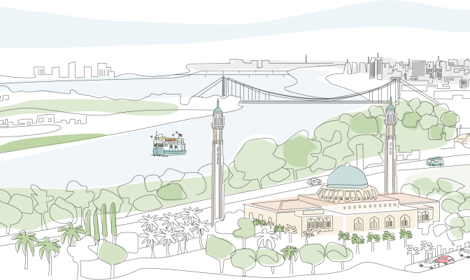
Situated in Northeast Africa, Sudan boasts a rich historical legacy and a diverse population estimated at 46,874,204. This vast country, covering 1.88 million km², was the largest in Africa prior to South Sudan’s secession in 2011. Khartoum, the capital, lies at the confluence of the White Nile and Blue Nile, giving birth to the iconic Nile River—the lifeblood of the region.
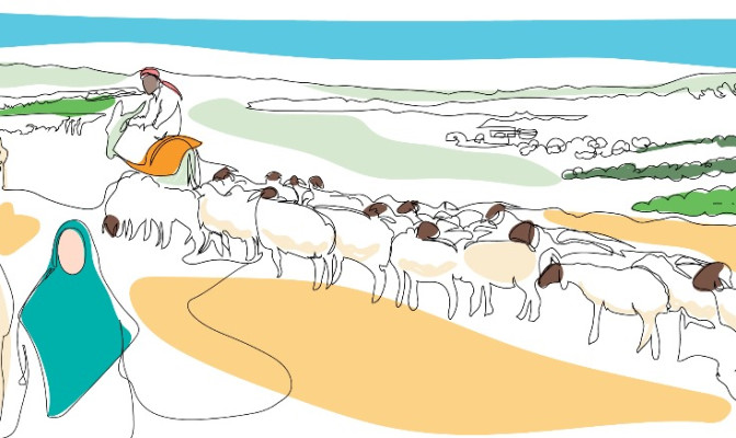
The Syrian Arab Republic, located in West Asia, borders the Mediterranean Sea to the west, Turkey to the north, Iraq to the east and southeast, Jordan to the south, and Palestine and Lebanon to the southwest. Syria covers an area of 185,180 Km2, 44 per cent of which is meadows and pastures, 33 per cent arable land and 3 per cent forests, while the remainder is non-arable land [1].
By 2011, Syria was home to over 23 million people, with over 2 million living in its capital city, Damascus. Due to the ongoing protracted conflict that erupted in 2011, by the end of 2022 there were 6.8 million internally displaced people in Syria and 15.3 million in need of humanitarian assistance [2]. There are more than 5.4 million Syrian refugees [3] residing outside of Syria.
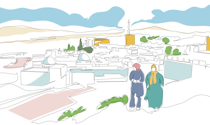
Tunisia is a part of the Maghreb region of North Africa, bordered by Algeria to the west and southwest, Libya to the southeast, and the Mediterranean Sea to the east and north. It contains the eastern end of the Atlas Mountains and the northern reaches of the Sahara Desert, with much of its remaining territory being arable land. Most of the southern part of the country is a sandy desert, where wadis are dry for most of the year and fresh water is scarce. Tunisia also has several islands, the Djerba Island in the Gulf of Gabès being North Africa's largest island.
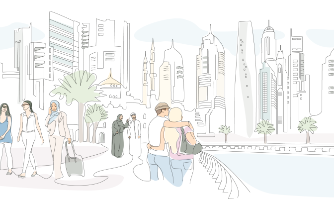
The United Arab Emirates (UAE) is located at the eastern end of the Arabian Peninsula and is made up of seven federal emirates: Abu Dhabi (the capital), Ajman, Dubai, Fujairah, Ras Al-Khaimah, Sharjah and Umm Al-Quwain. UAE is bordered by Saudi Arabia to the west and south and by Oman to the east and northeast, and the country’s land territory spans 71,023 km2, including several islands in the Arabian Gulf, in addition to 27,625 km2 of territorial waters. Abu Dhabi accounts for 84 per cent of the country’s total landmass.
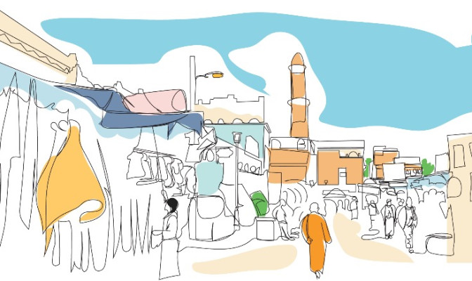
Yemen, officially the Republic of Yemen, is a country in Western Asia, situated in the southwestern corner of the Arabian Peninsula. It borders Saudi Arabia to the north, Oman to the northeast and it shares maritime borders with Eritrea, Djibouti, and Somalia.
