Arab Land Initiative
Good land governance, functioning land administration, and protection of housing, land and property rights are critical for the social, economic, and environmental sustainability of the Arab region and for the realisation of the human rights of all women, men, and children.
The Arab Land Initiative was established in 2016 to catalyse such positive changes. Under the leadership of UN-Habitat and the Global Land Tool Network, the Initiative empowers regional land champions through coordination, collaboration, capacity, knowledge, and information sharing.
18 December 2025
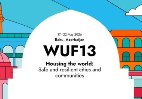
Call for Partner-Led Events Opens for World Urban Forum 13
17 December 2025
Land and Conflict Case Study: Land Rights Disputes in western Libya

15 December 2025
Housing as a Human Right: Regional Insights and Strategies for the Arab World
Publications
Events
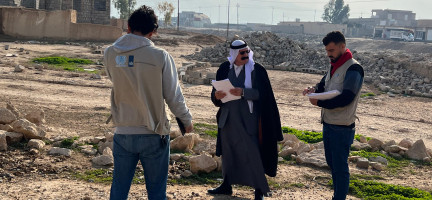
Join the webinar! Land and Conflict in the Arab Region: Advancing Housing, Land and Property Rights of Displaced Persons
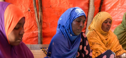
Leveraging Religious Norms to Strengthen Women’s Land Rights: Lessons from Work in the Somali Cluster and Ethiopia
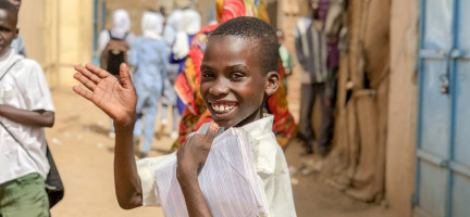
Join the HNPW for the launch of the Housing, Land, and Property Solutions to Address and Prevent Displacement
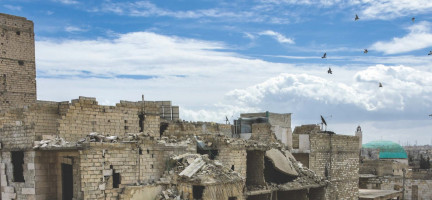
Launch of the Pinheiro Principles Handbook for the MENA Region
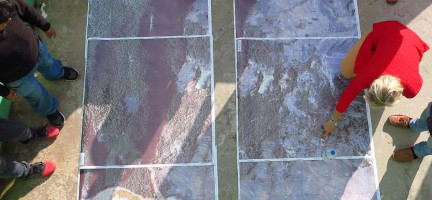
Technical pre-workshop “Fit-for-Purpose Land Administration in the Arab Region”
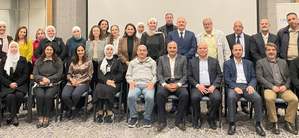
Improving Land Governance in Jordan: Towards Sustainable Development and Urbanization
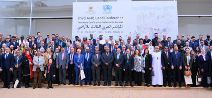
The Third Arab Land Conference
Algeria is the largest country in Africa, bordering Morocco, Mali, Libya, Tunisia, Niger, Mauritania and Western Sahara. The country has a land area of over 2.3 million square kilometres, most of which is covered by the Algerian Sahara Desert. Approximately two thirds of Algeria’s 44.6 million inhabitants [1] live in urban areas [2], primarily along or near the country’s 2,148 sq km coastline with the Mediterranean Sea. Algiers, the capital city, hosts a population of over 3.5 million.
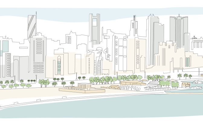
Bahrain, officially the Kingdom of Bahrain, is an island situated between Qatar and the northeastern coast of Saudi Arabia, to which it is connected by the King Fahd Causeway. It is comprised of an archipelago of between 36 and 44 islands [1]. Bahrain’s land area is constantly increasing, and currently sits at about 785 km2; the country’s total land area was approximately 620 km2 before substantial reclamation projects expanded its land mass along the shorelines.
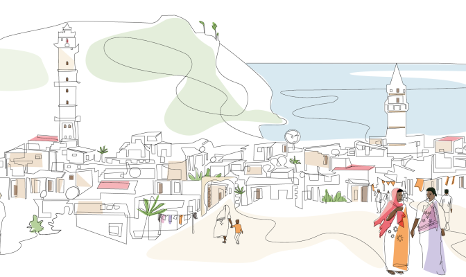
The island country of Comoros, or Union of Comoros, is located in the Indian Ocean at the northern end of the Mozambique Channel, off the eastern coast of Africa. Comoros has maritime borders with Tanzania, Mozambique, Madagascar, Seychelles and Mayotte (administered by France). [6] These volcanic islands form an archipelago of just over two thousand square kilometers [5] with a population of less than a million, 30 percent of which live in urban centres. The capital and largest city is Moroni on Grande Comore Island, while Anjouan Island is the most densely populated [10].
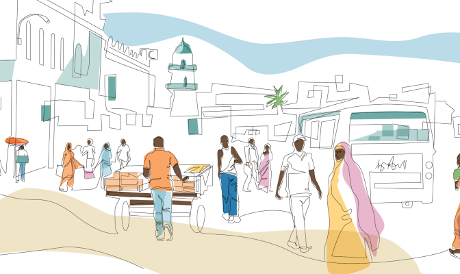
Djibouti has an are area of 23,200 km² and is home to one million people. Around 78 percent of the population lives in urban areas, with the major concentration found in Djibouti city and other nearby urban and peri-urban areas. The remaining quarter of the population lives in rural areas and it is mostly devoted to the traditional transhumant pastoralist lifestyle.[1] Traditionally, the Afar and Issa communities are camels, goats, and sheep herders. The Afar people, primarily residing in Djibouti’s northern region, are part of a larger Afar ethnic group predominantly found in Ethiopia, while the Issa people, concentrated in the southern part of Djibouti, share ethnic ties with neighbouring Somalia.[1] Power sharing struggles between the Issas and Afars led to a civil war that ravaged
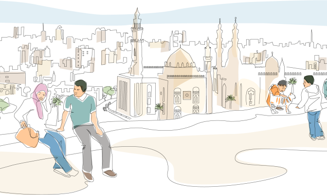
Egypt is in the northeastern corner of Africa, with the Nile River valley and delta at the heart of the country, Egypt was one of the principal civilizations of the ancient Middle East.
Urbanization is a key driver of development in Egypt, 75 per cent of the GDP is generated in urban areas and 80 per cent of the jobs are in existing cities (NUP Diagnostic report, Unpublished). Urbanization in Egypt increased from 26 per cent in 1937 to 38 per cent in 1960 and 44 per cent in 1986. This percentage fell to around 42.2 per cent in 2017, not because the Egyptian urbanization rate is declining, but rather due to the lack of a clear unified definition of urban-rural areas. In 2021, 43 per cent of Egypt’s total population lived in urban areas and cities.
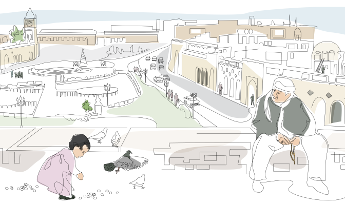
Iraq is one of the easternmost countries of the Arab Region. With Baghdad as its capital city, it is bordered to the north by Turkey, to the east by Iran, to the west by Syria and Jordan, and to the south by Saudi Arabia and Kuwait.
The information contained in this page gives an overview of the Iraq land sector. More detailed information, analysis, and full references can be found in the “Iraq Legislative and Administrative Land and Property Rights Framework” report developed by UN-Habitat and the Global Land Tool Network in the context of the Arab Land Initiative.
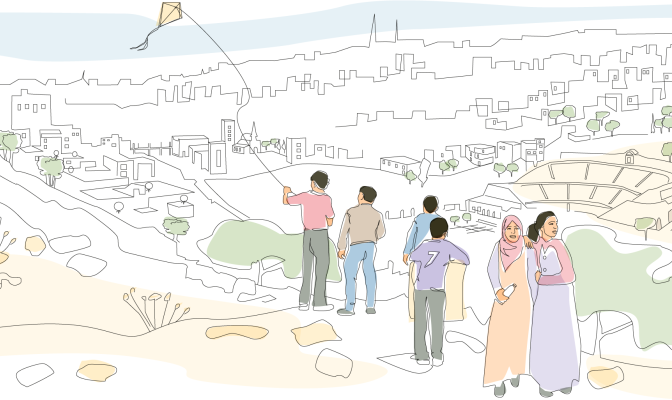
Jordan is located in the rocky desert of the northern Arabian Peninsula. It has a land area of 88,780 Km2 and a population of 10.3 million people, 92 per cent of whom live in urban centers (Worldometer, 2021). Inhabitants are concentrated in the west, northwest, inside and around the capital Amman, while a sizeable number of people reside in the southwest along the coast of the Gulf of Aqaba (FAO, 2019). In 2020, Jordan had an annual urbanization rate of 9 percent (Worldometer 2021), compared to a rate of 3.8 percent in 2014 (Department of Statistics, Al-Fugara, Al-Shabeeb et.al., 2018). The country is divided into 12 governorates and 51 districts. The capital city is Amman.
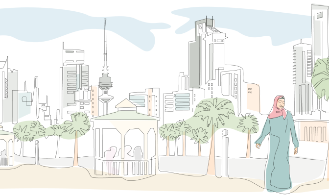
The State of Kuwait is a country on the Arabian Peninsula, bordering Iraq to the west and the north, and Saudi Arabia to the south. Its territory is 17,820 square kilometers in size, consisting of the mainland plus nine islands. Kuwait is a sovereign, constitutional monarchy with a democratic political system that has a separation of legislative, executive and judicial powers.
Kuwait consists mostly of desert regions, with a hot and arid climate during the summer season, when temperatures can exceed 50 degrees. The exception to this is the Al-Jahra oasis, at the western end of Kuwait Bay, and a few fertile patches in the southeastern and coastal areas.
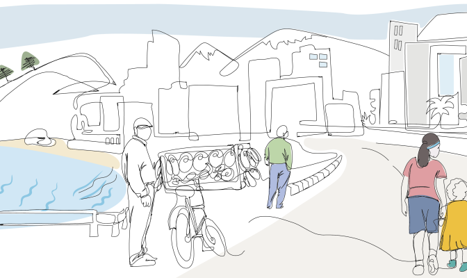
89 percent of the 6 million inhabitants live in urban centres, mostly along the coast. 6 percent of its 10,230 Kms surface is built-up, 32 percent is agricultural, and the remain parts are covered by grass, shrubs, rocks or forest.
Traditionally considered a middle-income country, Lebanon’s economy has been declining due to the combined effects of regional conflicts, COVID-19 pandemic, and the Beirut port explosion.
Lebanon hosts more than one million Syrian refugees scattered throughout urban and rural communities, putting additional strain on the already impoverished host communities and adding to the demand for affordable housing and basic services.
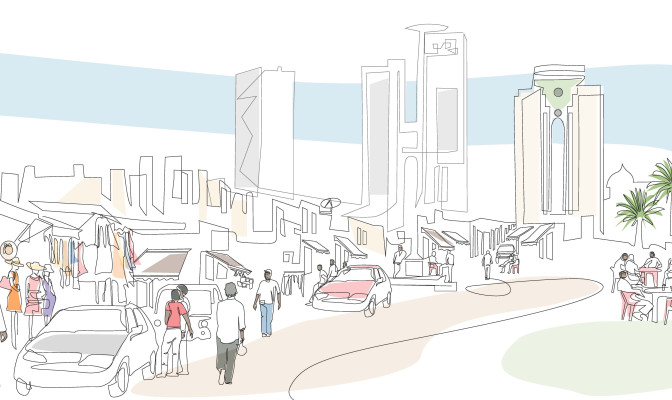
The country extends over 1,759,540 km2 where more than 90% of the total land area is desert or semi-desert. Combined with the projected increase in population, this will result in a number of major challenges in the country including the provision of adequate housing, food, clean drinking water, job opportunities, health care, education, and transportation.
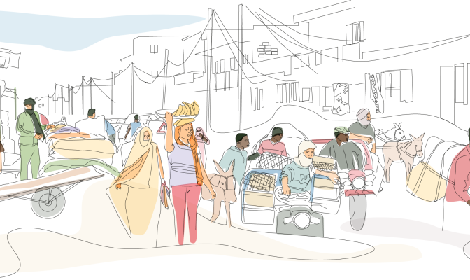
The Islamic Republic of Mauritania is situated in Northwest Africa and represents both geographical and cultural contact between Northern Africa and the Sub-Saharan region. The country borders Western Sahara to the northwest, Mali to the south-east and Senegal to the south-west. It is subdivided into four major regions: the sandy desert along the Atlantic coast, the central highlands region, large dunes in the east feeding into the Sahara Desert and the southern valley straddled by the Senegal River. Roughly two quarters of the country is either desert or semi-desert while less than 1 per cent of the territory is arable land. Mauritania is vulnerable to climate change, drought and floods, with desertification as its most pressing land-related environmental challenge [3].
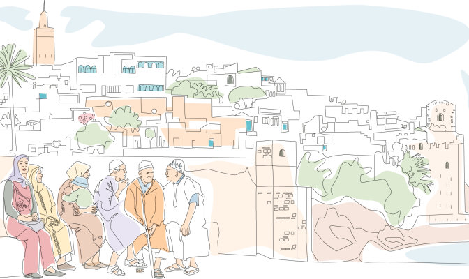
The Kingdom of Morocco is a mostly arid and semi-arid country in the north-west corner of the African continent. Morocco is home to a population of 37 million inhabitants, about 600,000 of whom reside in its capital city, Rabat. Morocco is a constitutional, democratic and parliamentary monarchy, with the parliament consisting of two chambers: the House of Representatives and the House of Councillors. According to the 2011 Constitution, political power in Morocco is shared between the Monarch and the parliament.
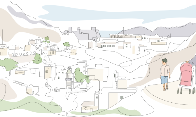
The Sultanate of Oman, located on the south-eastern coast of the Arabian Peninsula, borders the United Arab Emirates, Saudi Arabia and Yemen. The country is 309,500 sq km in size, with a 2,092 km long coastline, and rugged mountains in the north and south. A vast gravel desert plain covers most of the country, which experiences sandstorms and dust storms in summer, and periodic droughts, with average precipitation of 125 mm per year.
This page presents a snapshot of Oman’s land sector. Much of its content was extracted from the report Oman Land Sector Assessment, prepared by the Urban Training and Studies Institute and the Arab Land Initiative of the Global Land Tool Network [3].
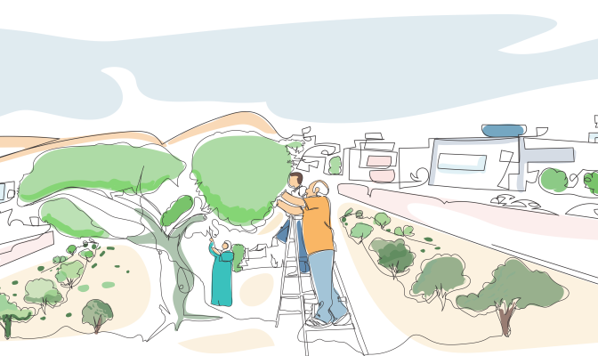
Palestine, or the Occupied Palestinian Territory (OPT), is located between the Mediterranean Sea, the Jordan River and the Dead Sea. The OPT is composed of two enclaves: the West Bank, including East Jerusalem and Gaza Strip.
The information contained in this page gives an overview of the Palestine land sector. More detailed information and analysis can be found in the “Land governance and land rights in Palestine: Analysis and recommendations” report developed by UN-Habitat and the Global Land Tool Network in the context of the Arab Land Initiative.
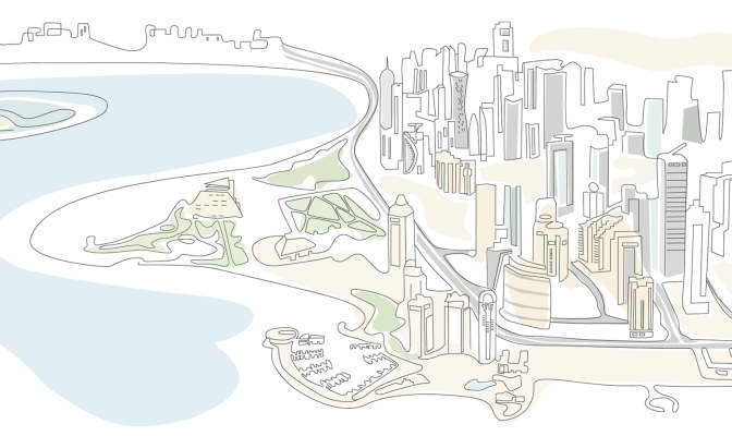
Qatar is located on a small peninsula on the northeastern coast of the Arabian Peninsula, measuring roughly 160 km north-south and 55 to 80 km east-west. It has only one land border, with Saudi Arabia, to its south. The total land area is 11,581 km2, only 5.6% of which is agricultural, with 99 per cent of the country’s total population of over 3 million (as of 2024) residing in urban areas.
Doha, its capital, has transformed from a small fishing village community to an emerging regional urban centre with more than 1.9 million inhabitants. Urban areas in the Doha region have grown at a rate of 5.45 per cent per year since 1987, increasing by 315 km2, with the peak growth period occurring between 1998 and 2003.
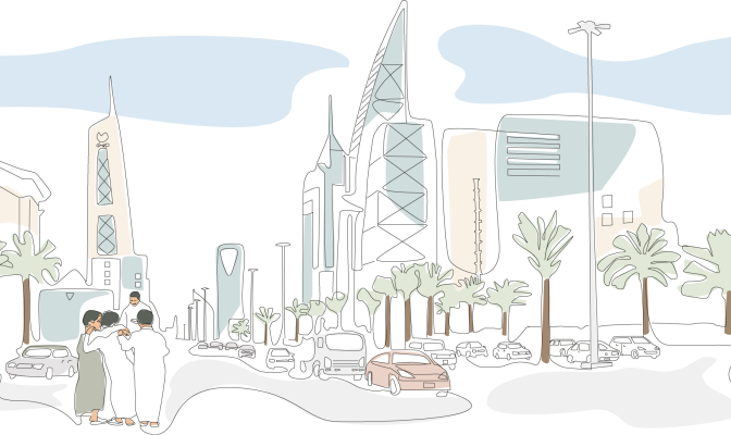
The Kingdom of Saudi Arabia is the second-largest country in the Arab world, with a land area of 2,149,690 km2 occupying roughly 80 per cent of the Arabian Peninsula. It is bordered by the Red Sea to the west; Jordan, Iraq and Kuwait to the north; the Persian Gulf, Qatar and the United Arab Emirates to the east; Oman to the southeast; and Yemen to the south. It is the only country with a coastline along both the Red Sea and the Persian Gulf.
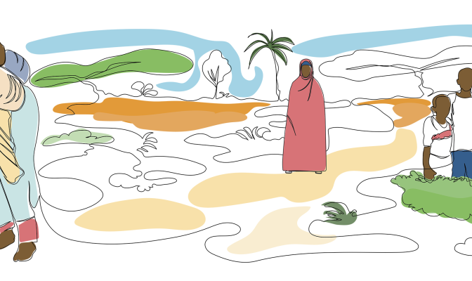
The Federal Republic of Somalia is situated in the Horn of Africa. Its Federal Member States are Puntland, South West, Hirshabelle, Galmudug, Jubaland, Somaliland and Benadir. Somalia shares borders with Ethiopia, Djibouti and Kenya and its territory covers 627,340 square kilometers of land. The country has an estimated population of 18.7 million people [1], almost half (45 per cent) of whom live in fast-expanding urban areas [2].
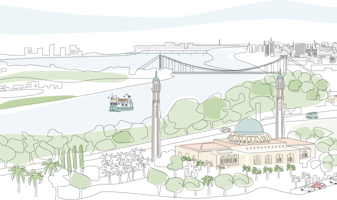
Situated in Northeast Africa, Sudan boasts a rich historical legacy and a diverse population estimated at 46,874,204. This vast country, covering 1.88 million km², was the largest in Africa prior to South Sudan’s secession in 2011. Khartoum, the capital, lies at the confluence of the White Nile and Blue Nile, giving birth to the iconic Nile River—the lifeblood of the region.
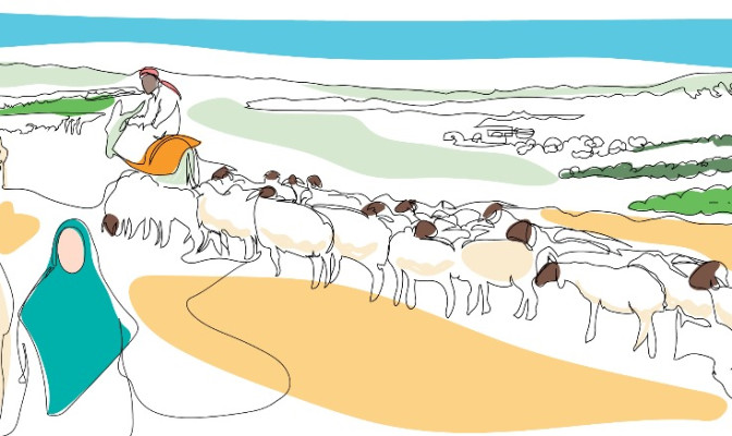
The Syrian Arab Republic, located in West Asia, borders the Mediterranean Sea to the west, Turkey to the north, Iraq to the east and southeast, Jordan to the south, and Palestine and Lebanon to the southwest. Syria covers an area of 185,180 Km2, 44 per cent of which is meadows and pastures, 33 per cent arable land and 3 per cent forests, while the remainder is non-arable land [1].
By 2011, Syria was home to over 23 million people, with over 2 million living in its capital city, Damascus. Due to the ongoing protracted conflict that erupted in 2011, by the end of 2022 there were 6.8 million internally displaced people in Syria and 15.3 million in need of humanitarian assistance [2]. There are more than 5.4 million Syrian refugees [3] residing outside of Syria.
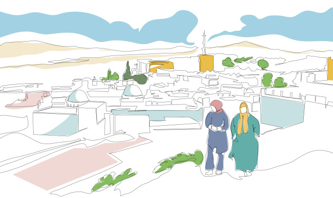
Tunisia is a part of the Maghreb region of North Africa, bordered by Algeria to the west and southwest, Libya to the southeast, and the Mediterranean Sea to the east and north. It contains the eastern end of the Atlas Mountains and the northern reaches of the Sahara Desert, with much of its remaining territory being arable land. Most of the southern part of the country is a sandy desert, where wadis are dry for most of the year and fresh water is scarce. Tunisia also has several islands, the Djerba Island in the Gulf of Gabès being North Africa's largest island.
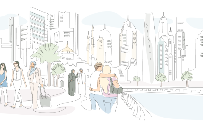
The United Arab Emirates (UAE) is located at the eastern end of the Arabian Peninsula and is made up of seven federal emirates: Abu Dhabi (the capital), Ajman, Dubai, Fujairah, Ras Al-Khaimah, Sharjah and Umm Al-Quwain. UAE is bordered by Saudi Arabia to the west and south and by Oman to the east and northeast, and the country’s land territory spans 71,023 km2, including several islands in the Arabian Gulf, in addition to 27,625 km2 of territorial waters. Abu Dhabi accounts for 84 per cent of the country’s total landmass.
Yemen, officially the Republic of Yemen, is a country in Western Asia, situated in the southwestern corner of the Arabian Peninsula. It borders Saudi Arabia to the north, Oman to the northeast and it shares maritime borders with Eritrea, Djibouti, and Somalia.
University of the West of England (UWE Bristol) is a modern and dynamic Post 1992 UK University welcoming students from 140 countries. With over 30,000 students and 3,200 staff it is one of the largest and most popular universities in the UK and is currently ranked 2nd in England for Student Experience. Our Purpose is to solve future challenges through outstanding learning, research and a culture of enterprise. We aim to create opportunities for all to thrive and flourish.
The twinning arrangement’s objective between the University of West of England (public research university founded in 1992) and the Birzeit University (educational institution founded in 1972 offering a wide range of academic programs and professional development opportunities) is to address the capacity building aspects of institutional capacity in the sector as well as to ensure that the wider benefits of land governance for all citizens are promoted, thereby encouraging women to be active in the sector and be aware and claim their land rights. The cooperation will draw on diagnostic tools developed by UWE to critically assess sector needs at undergraduate, postgraduate and professional levels, focusing on supporting good land governance and existing Palestinian Land Institutions.

The Housing and Land Rights Network (HLRN), the structure of the Habitat International Coalition (HIC) specialized in the human rights dimensions of habitat, envisions a world with active cooperation of civil society and organs of the state to recognize, defend and fully realize the human right of everyone, everywhere to a secure place to live in peace and dignity (i.e., a human rights habitat).
Within this vision, HLRN seeks to realize the corresponding potential of civil society to play this complementary role through the achievement of specific project objectives by maximizing its relationships, assets and unique potentials through a strategy of building and applying human rights-based tools and approaches that bring about problem-solving policy impact. HLRN’s mission goals are expressed across three mutually reinforcing fields of operation: (1) Coalition building, (2) Knowledge creation and capability development, and (3) Impactful advocacy.
The twinning arrangement between the Habitat International Coalition: The Cairo-based Housing and Land Rights Network (HLRN) operates across the Middle East and Africa regions from Cairo, and the National Center for Peace and Development (NCPD) is based in Sudan is focused on capacity building of civil society to meet the challenges of engagement in norm-based solutions to problems facing traditionally marginalized communities, and especially those subject to forced eviction and displacement. The overall goal is to support Sudanese civil society in conflict affected zones to make the transition from the short-term, emergency humanitarian phase toward longer-term, institution-building sustainable development contributions.

The Gaza Urban and Peri-Urban Agriculture Platform (GUPAP) was established in 2013/2014 in the Gaza Strip, Palestine, to address the challenging urban crisis in Gaza. This region has limited economic opportunities, and policymakers and planners do not officially recognize urban agriculture.
GUPAP's main objective is to create a participatory platform that brings together various stakeholders to enhance the resilience of the local food system. It promotes urban agroecology and family farming to achieve food sovereignty in Palestine. GUPAP focuses on raising awareness about urban agroecology and family farming for food security and sovereignty at the national and international levels. It also aims to build institutional capacity, support collaboration among Community-Based Organizations (CBOs) and community-led forums, and advocate for policies and practices related to urban agroecology and family farming.
GUPAP is a member of several national, regional, and global networks and platforms, participating in discussions and working groups to influence food policies and strategies. Notably, GUPAP has successfully implemented advocacy and influencing campaigns focusing on women's agricultural rights and supporting women entrepreneurs' projects. GUPAP was awarded the Lush Spring 2021 and the Zayed Sustainability Prize (Food Category) in December 2023.
